|
Discovering
Continental Drift
|
Introduces students to Alfred Wegener and his continental drift hypothesis and provides the groundwork for
learning about Earth’s dynamic surface and the theory of plate tectonics.
|

|
|
Discovering
Plate Tectonics
|
Ocean floor exploration led to the discovery of the plate tectonics theory. The motion of Earth’s
lithospheric plates cause the movement of the continents and ocean basins.
|

|
|
Exploring Plate Boundaries
|
Most geologic events occur at the boundaries of Earth’s plates. Earthquakes, volcanoes, and mountain
building are a direct result of interactions at plate boundaries.
|

|
|
Probing Earth’s Interior
|
Learn how the layered structure of Earth’s interior is key to understanding geologic processes that change
Earth’s surface.
|

|

|
Investigating Plate Tectonics
|
This app investigates how geologic events help provide evidence to support the theory of
plate tectonics. See how earthquakes, volcanoes, and plate boundaries relate to the theory.
|

|
|
Plate Tectonics Visual Glossary and Atlas
|
A comprehensive glossary of plate tectonics terms and definitions that includes
illustrations, animations, photos, and videos. Explore Earth’s surface features and
geography on a 3D globe. Search for specific terms from a list.
|


|
|
Plate Tectonics Bundle
|
The development of the theory of plate tectonics has revolutionized our understanding of the geologic processes
that have shaped the surface of our planet. This bundle of six apps provides students with a comprehensive
exploration of the topic.
|

|
|
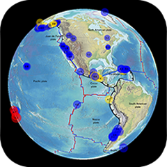
Focus on Earthquakes
|
Provides a comprehensive description of the causes and consequences of earthquakes.
Will be of interest to anyone who wants to learn about earthquakes or as a great
classroom supplement for any Earth science curriculum.
|

|
|
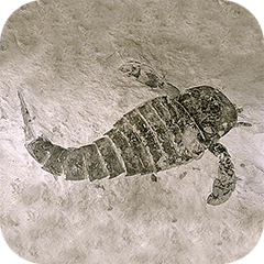
pangaea
|
Dynamically shows the breakup of the supercontinent Pangaea and
the positions of the continents over the last 200 million years on a 3D globe.
|

|
|
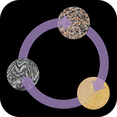
geotimescale 2
|
Represents the timeline of Earth’s geologic history and provides
information for significant events. Includes names of the eons,
eras, periods, epochs, and ages along with their corresponding dates.
|

|
|
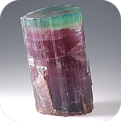
Earth’s Rocks and the Rock Cycle
|
Learn about the three rock types found on Earth. Observe how the
rock cycle illustrates the geologic processes that
change one type of rock into another. Explore these processes with
the Rock Builder activity.
|


|
|
How to Identify Minerals
|
This interactive guide illustrates mineral identification techniques through
photos, animations, video demonstrations, quizzes, and laboratory investigations.
Learn mineral properties and structures and use the database included in the app.
|


|
|
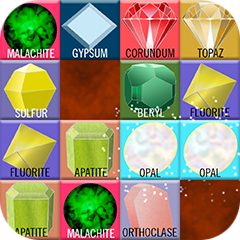
Mohs Mineral Madness
|
The Mohs Mineral Madness app is a tile match puzzle using the Mohs mineral hardness scale. Match pairs of
minerals to clear the board in the fewest possible moves.
|

|
|
Introduction to Rocks and Minerals
|
An iOS App Store bundle that contains two apps:
Earth’s Rocks and the Rock Cycle
and How to Identify Minerals.
Both apps provide high resolution photos and videos, identification
activities and quizzes.
|

|

|
Arches National Park Geology Tour
|
With this illustrated and narrated guide to Arches National Park
you can listen to the narration as you hike the trails, study the
photos and illustrations before your visit, or just take a virtual trip.
|

|
|
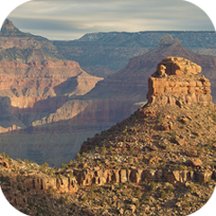
Grand Canyon National Park Geology Tour
|
Take an extensive photo tour of this spectacular park. Learn why the rocks display those
magnificent colors, find out how the interesting pinnacles and buttes
formed, and more.
|

|
|
Mineralogy and Optical Mineralogy series
|
Designed to take full advantage of digital media technology to empower students and teachers of mineralogy.
Using color photographs, illustrations, movies, 3D models that can be rotated, interactive diagrams,
and review questions, this series makes a challenging subject approachable.
|

|
|
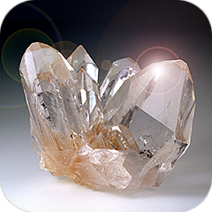
Mineral Database
|
Provides a quick, portable reference for students, educators, professionals, or anyone
interested in minerals. Contains hand sample photos, photomicrographs, physical properties,
crystal animations, 3D structures, and more for 300 common mineral species.
|


|
|
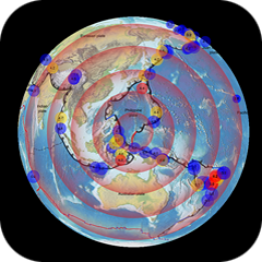
Earthquake Finder
|
Provides a visual display of recent earthquake activity on a 3D globe or 2D flat map of the world.
View earthquake magnitudes, focus depths, and times. Also displays recently active volcanoes.
|

|

|
Folds and Faults
|
Provides an illustrated overview of two significant topics in geology: folds and faults.
Helps to explain how mountains form, how layers of rock change shape over time,
and the underlying cause of earthquakes.
|

|
|
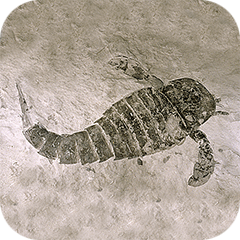
geotimescale enhanced
|
Represents the timeline of Earth’s geologic history and includes illustrations
and information for significant events. Enhanced with artistic impressions of life on Earth
over time. Includes the names of the eons,
eras, periods, epochs, and ages along with their corresponding dates.
|

|
|
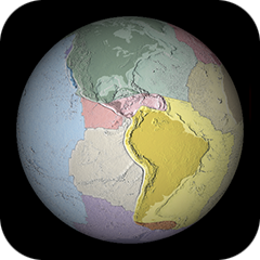
Puzzling Plates
|
Provides an interactive, engaging experience that inspires you to
explore the large, tectonic plates that make up the surface of Earth.
Experience how plates fit together. Explore what happens at plate boundaries.
Discover how earthquakes and volcanoes relate to plate tectonics.
|


|